Geolocate

Sile topographic map

Click on the map to display elevation.

About this map

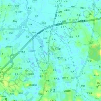
Name: Sile topographic map, elevation, terrain.

Location: Sile, Taishan, Jiangmen, Guangdong Province, China (22.32607 112.77411 22.36607 112.81411)

Average elevation: 20 ft

Minimum elevation: -7 ft

Maximum elevation: 69 ft

Gear up for your next adventure:

Camping Coffee Makers - Enjoy premium coffee at the summit or campsite
🛰️Handheld GPS Units - Professional satellite navigators for precise backcountry mapping
🦶Hiking Gaiters - Keep debris and water out of your boots
📱Solar Portable Charger - Solar power bank for charging devices off‑grid
🦶Carbon Trekking Poles - Reduce knee impact on steep descents with ultra-light poles

As an Amazon Associate, this site earns from qualifying purchases at no extra cost to you.