
Marsh Lake topographic map
Interactive map
Click on the map to display elevation.
About this map
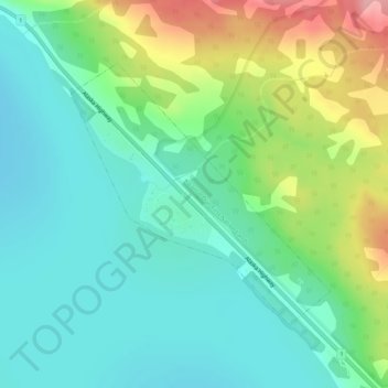
Name: Marsh Lake topographic map, elevation, terrain.
Location: Marsh Lake, Yukon, Canada (60.50670 -134.34606 60.52490 -134.30932)
Average elevation: 2,244 ft
Minimum elevation: 2,110 ft
Maximum elevation: 2,559 ft