Geolocate

Thompsonville topographic map

Click on the map to display elevation.

About this map
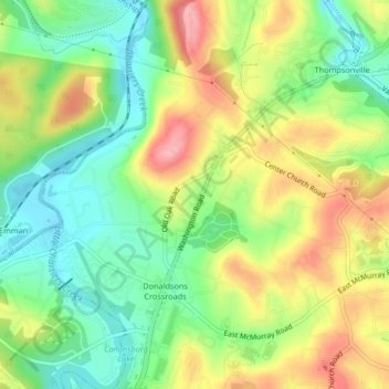
Name: Thompsonville topographic map, elevation, terrain.

Location: Thompsonville, McMurray, Peters Township, Washington County, Pennsylvania, United States (40.26922 -80.13995 40.29231 -80.09862)

Average elevation: 1,050 ft

Minimum elevation: 879 ft

Maximum elevation: 1,270 ft

Washington County trails, hiking, mountain biking, running and outdoor activities

Gear up for your next adventure:

👖Convertible Hiking Pants - Versatile zip-off pants for changing altitudes and temperatures
🔦Powerful Headlamps - Ultra-bright hands-free lighting for night navigation
📚USA Hiking Guide Books - Top trail guides and map books
🪓Survival Multi‑Tool - Versatile tool for camp and trail tasks
📱Heavy-Duty Phone Cases - Drop-proof and waterproof protection for outdoor navigation

As an Amazon Associate, this site earns from qualifying purchases at no extra cost to you.