
Thank you for supporting this site ❤️
Make a donation
Make a donation
Gear up for your next adventure:
As an Amazon Associate, this site earns from qualifying purchases at no extra cost to you.
Tuiwa topographic map
Click on the map to display elevation.
Thank you for supporting this site ❤️
Make a donation
Make a donation
Gear up for your next adventure:
As an Amazon Associate, this site earns from qualifying purchases at no extra cost to you.
About this map
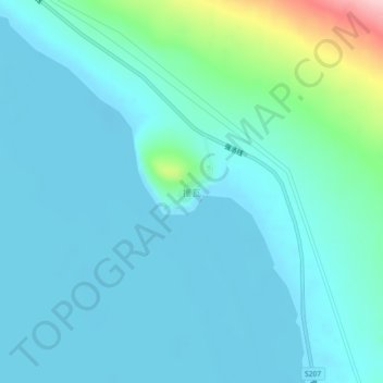
Name: Tuiwa topographic map, elevation, terrain.
Location: Tuiwa, Daglung, Nakartse County, Shannan, Tibet, China (28.54713 90.50990 28.58713 90.54990)
Average elevation: 16,532 ft
Minimum elevation: 16,437 ft
Maximum elevation: 17,087 ft
Thank you for supporting this site ❤️
Make a donation
Make a donation
Gear up for your next adventure:
As an Amazon Associate, this site earns from qualifying purchases at no extra cost to you.