
Deerfield topographic map
Click on the map to display elevation.
About this map
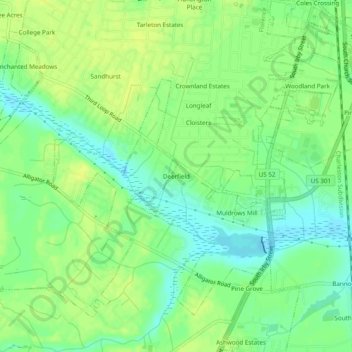
Name: Deerfield topographic map, elevation, terrain.
Average elevation: 118 ft
Minimum elevation: 82 ft
Maximum elevation: 144 ft
Other topographic maps
Click on a map to view its topography, its elevation and its terrain.
Florence Soccer Complex
United States > South Carolina > Florence County > Florence
Average elevation: 138 ft