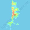
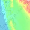
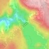
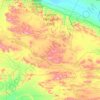
Cape Leveque topographic map
Click on the map to display elevation.
About this map

Name: Cape Leveque topographic map, elevation, terrain.
Average elevation: 10 ft
Minimum elevation: 0 ft
Maximum elevation: 115 ft
Other topographic maps
Click on a map to view its topography, its elevation and its terrain.






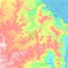


Wembley
The Indigenous people of the land are the Mooro, a subgroup of the Whadjuk, of the Noongar Aboriginal clan inhabiting the upper west region of the Swan River for at least 40,000 years. The Mooro used resources throughout the region north of the Swan River and moved as the seasons changed. They moved towards…
Average elevation: 62 ft


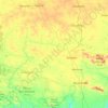
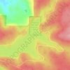


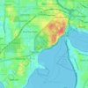





Mount Barker
The peak of Mount Barker lies 3.5 kilometres (2.2 mi) southwest of the town centre, and reaches an elevation of 404 metres (1,325 ft) above sea level. A sealed road leads to the base of a radio and television tower on the summit of the hill. The tower was constructed to a height of 168 metres (551 ft) in 1966,…
Average elevation: 692 ft