Geolocate

Mount Conner topographic map

Click on the map to display elevation.

About this map

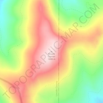
Name: Mount Conner topographic map, elevation, terrain.

Location: Mount Conner, Lincoln County, Montana, United States (48.32797 -114.85158 48.32807 -114.85148)

Average elevation: 5,571 ft

Minimum elevation: 4,915 ft

Maximum elevation: 6,158 ft

Lincoln County trails, hiking, mountain biking, running and outdoor activities

Gear up for your next adventure:

📡GPS Antenna Upgrade - Enhance GPS reception in remote terrain
🪶Camping Sleeping Pad - Comfortable sleeping pad for backpacking
🧴Hand Sanitizer - Keep hands clean while hiking
🧺Microfiber Travel Towels - Compact and fast-drying towels for trail use
📚Navigation Handbooks - Master the art of reading topographic maps and using a compass

As an Amazon Associate, this site earns from qualifying purchases at no extra cost to you.