Geolocate

Bukit Raja topographic map

Click on the map to display elevation.

About this map

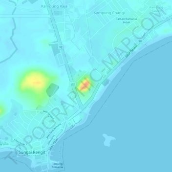
Name: Bukit Raja topographic map, elevation, terrain.

Location: Bukit Raja, Sungai Rengit, Kota Tinggi, Johor, 81600, Malaysia (1.36063 104.23058 1.36073 104.23068)

Average elevation: 13 ft

Minimum elevation: -3 ft

Maximum elevation: 151 ft

Gear up for your next adventure:

🩳Quick‑Dry Hiking Shorts - Comfortable and quick‑dry shorts for summer hiking
📱Heavy-Duty Phone Cases - Drop-proof and waterproof protection for outdoor navigation
🎒Trail Energy Bars - High‑calorie bars for hiking energy
🪶Camp Gear Gift Set - Perfect gift bundle for outdoor fans
🥾Men's Hiking Boots - Durable, waterproof footwear for rugged terrain and steep inclines

As an Amazon Associate, this site earns from qualifying purchases at no extra cost to you.