
Healing topographic map
Click on the map to display elevation.
About this map
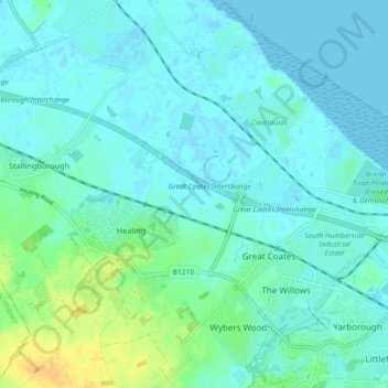
Name: Healing topographic map, elevation, terrain.
Location: Healing, North East Lincolnshire, England, United Kingdom (53.56359 -0.19518 53.60283 -0.10426)
Average elevation: 20 ft
Minimum elevation: -7 ft
Maximum elevation: 95 ft
Other topographic maps
Click on a map to view its topography, its elevation and its terrain.
Pier Gardens
United Kingdom > England > North East Lincolnshire > Cleethorpes
Average elevation: 13 ft