Geolocate

Biswan topographic map

Click on the map to display elevation.

About this map

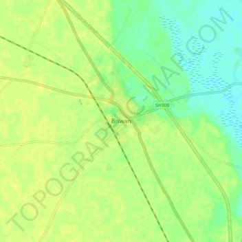
Name: Biswan topographic map, elevation, terrain.

Location: Biswan, Sitapur District, Uttar Pradesh, 261200, India (27.45048 80.95536 27.53048 81.03536)

Average elevation: 430 ft

Minimum elevation: 397 ft

Maximum elevation: 446 ft

Other topographic maps

Click on a map to view its topography, its elevation and its terrain.

Biswan

India > Uttar Pradesh > Biswan

Average elevation: 410 ft

Gear up for your next adventure:

🪶Multi‑Purpose Knife - Useful blade for camp and trail
🔋Solar Power Banks - Keep your GPS and phone charged in remote wilderness areas
Backpacking Tent - Lightweight and durable tent for multi‑day hikes
🧣Hiking Neck Gaiter - Multi‑use neck protection for outdoor weather
📶Vehicle Signal Boosters - Improve reception in rural areas while driving to trailheads

As an Amazon Associate, this site earns from qualifying purchases at no extra cost to you.