
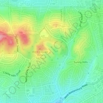
Robert E. Ward Nature Preserve topographic map
Interactive map
Click on the map to display elevation.
About this map
Name: Robert E. Ward Nature Preserve topographic map, elevation, terrain.
Average elevation: 344 ft
Minimum elevation: 200 ft
Maximum elevation: 607 ft
Orange County trails, hiking, mountain biking, running and outdoor activities