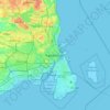
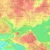
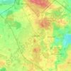
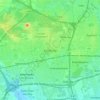
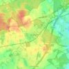
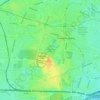
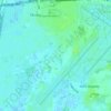
Herlev Municipality topographic map
Click on the map to display elevation.
About this map

Name: Herlev Municipality topographic map, elevation, terrain.
Location: Herlev Municipality, Capital Region of Denmark, 2730, Denmark (55.70759 12.39337 55.75986 12.45873)
Average elevation: 89 ft
Minimum elevation: 23 ft
Maximum elevation: 157 ft
Other topographic maps
Click on a map to view its topography, its elevation and its terrain.