
Make a donation
Gear up for your next adventure:
As an Amazon Associate, this site earns from qualifying purchases at no extra cost to you.
Quartz Mountain topographic map
Click on the map to display elevation.
Make a donation
Gear up for your next adventure:
As an Amazon Associate, this site earns from qualifying purchases at no extra cost to you.
About this map
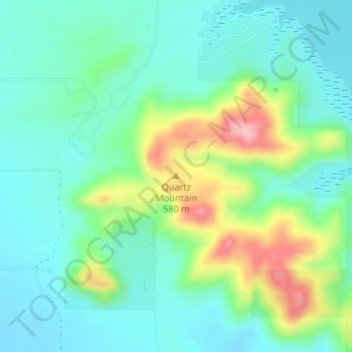
Name: Quartz Mountain topographic map, elevation, terrain.
Location: Quartz Mountain, Greer County, Oklahoma, United States (34.90695 -99.32347 34.90705 -99.32337)
Average elevation: 1,680 ft
Minimum elevation: 1,526 ft
Maximum elevation: 2,077 ft
Greer County trails, hiking, mountain biking, running and outdoor activities
Make a donation
Gear up for your next adventure:
As an Amazon Associate, this site earns from qualifying purchases at no extra cost to you.
Other topographic maps
Click on a map to view its topography, its elevation and its terrain.
Granite
United States > Oklahoma > Greer County
Lake Altus on the North Fork Red River is 2 miles (3 km) east of the center of town. Headquarters Mountain, elevation 1,980 feet (600 m), rises 350 feet (110 m) directly above the north side of town.
Average elevation: 1,647 ft