
Jharsuguda topographic map
Click on the map to display elevation.
About this map
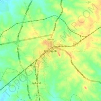
Name: Jharsuguda topographic map, elevation, terrain.
Location: Jharsuguda, Odisha, 768200, India (21.82536 83.98397 21.90536 84.06397)
Average elevation: 728 ft
Minimum elevation: 653 ft
Maximum elevation: 817 ft