
Arsego topographic map
Interactive map
Click on the map to display elevation.
About this map
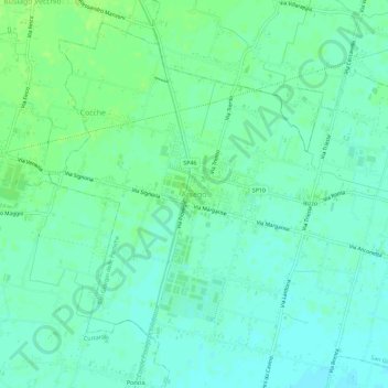
Name: Arsego topographic map, elevation, terrain.
Location: Arsego, San Giorgio delle Pertiche, Padova, Venetien, Italien (45.52166 11.85568 45.56166 11.89568)
Average elevation: 75 ft
Minimum elevation: 56 ft
Maximum elevation: 95 ft
Other topographic maps
Click on a map to view its topography, its elevation and its terrain.
Santa Giustina in Colle
Santa Giustina in Colle, Padova, Venetien, Italien
Average elevation: 85 ft
Due Carrare
Due Carrare, Padova, Venetien, Italien
Average elevation: 30 ft