
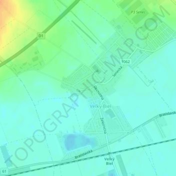
Veľký Biel topographic map
Interactive map
Click on the map to display elevation.
About this map
Name: Veľký Biel topographic map, elevation, terrain.
Average elevation: 427 ft
Minimum elevation: 397 ft
Maximum elevation: 502 ft
The municipality lies at an altitude of 131 metres and covers an area of 10.161 km². It has a population of 2303 people.
Other topographic maps
Click on a map to view its topography, its elevation and its terrain.
Chorvátsky Grob
Slovakia > Region of Bratislava > District of Senec
Chorvátsky Grob, District of Senec, Region of Bratislava, 900 25, Slovakia
Average elevation: 456 ft
Chorvátsky Grob
Slovakia > Region of Bratislava > District of Senec > Chorvátsky Grob > Chorvátsky Grob
Chorvátsky Grob, District of Senec, Region of Bratislava, 900 25, Slovakia
Average elevation: 463 ft