
Thank you for supporting this site ❤️
Make a donation
Make a donation
Gear up for your next adventure:
As an Amazon Associate, this site earns from qualifying purchases at no extra cost to you.
19273 topographic map
Click on the map to display elevation.
Thank you for supporting this site ❤️
Make a donation
Make a donation
Gear up for your next adventure:
As an Amazon Associate, this site earns from qualifying purchases at no extra cost to you.
About this map
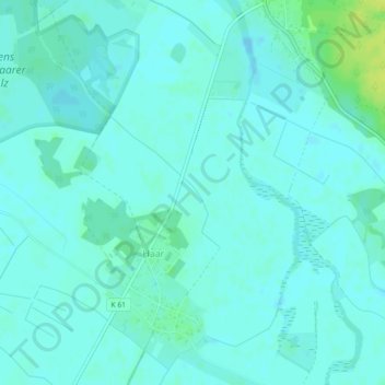
Name: 19273 topographic map, elevation, terrain.
Location: 19273, Haar, Amt Neuhaus, Lüneburg, Niedersachsen, Deutschland (53.26706 10.92410 53.26716 10.92420)
Average elevation: 36 ft
Minimum elevation: 23 ft
Maximum elevation: 75 ft
Thank you for supporting this site ❤️
Make a donation
Make a donation
Gear up for your next adventure:
As an Amazon Associate, this site earns from qualifying purchases at no extra cost to you.