Geolocate

Segaliud topographic map

Click on the map to display elevation.

About this map

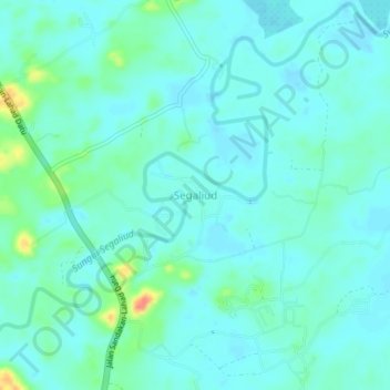
Name: Segaliud topographic map, elevation, terrain.

Location: Segaliud, Sandakan District, Sandakan Division, Sabah, Malaysia (5.71083 117.80013 5.75083 117.84013)

Average elevation: 33 ft

Minimum elevation: -3 ft

Maximum elevation: 161 ft

Other topographic maps

Click on a map to view its topography, its elevation and its terrain.

Selingan Island

Malaysia > Sabah > Sandakan District

Average elevation: 0 ft

Gear up for your next adventure:

🛏️Cold Weather Sleeping Bag - Warm sleeping bag for cold conditions
🧼Biodegradable Camping Soap - Eco‑friendly soap for outdoor hygiene
🥩Freeze-Dried Meals - Nutritious and lightweight food for remote expeditions
🦶Carbon Trekking Poles - Reduce knee impact on steep descents with ultra-light poles
🪶Paracord Bracelet - Survival bracelet with built‑in tools

As an Amazon Associate, this site earns from qualifying purchases at no extra cost to you.