
Hackensack topographic map
Click on the map to display elevation.
About this map
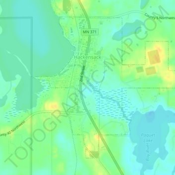
Name: Hackensack topographic map, elevation, terrain.
Location: Hackensack, Cass County, Minnesota, United States (46.91442 -94.53309 46.93624 -94.49690)
Average elevation: 1,388 ft
Minimum elevation: 1,358 ft
Maximum elevation: 1,440 ft
Cass County trails, hiking, mountain biking, running and outdoor activities
Other topographic maps
Click on a map to view its topography, its elevation and its terrain.