Geolocate

Dunns topographic map

Click on the map to display elevation.

About this map

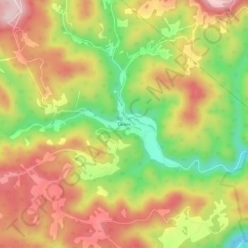
Name: Dunns topographic map, elevation, terrain.

Location: Dunns, Mercer County, West Virginia, United States (37.52317 -81.07315 37.56317 -81.03315)

Average elevation: 2,215 ft

Minimum elevation: 1,627 ft

Maximum elevation: 2,730 ft

Gear up for your next adventure:

🚗GPS Dash Cams - Record your scenic drives through mountain passes and canyons
🍳Camping Cook Set - Complete cookware for outdoor meals
📡GPS Antenna Upgrade - Enhance GPS reception in remote terrain
❄️Traction Cleats - Prevent slips on icy trails during winter hikes
🪶Multi‑Purpose Knife - Useful blade for camp and trail

As an Amazon Associate, this site earns from qualifying purchases at no extra cost to you.