
Thank you for supporting this site ❤️
Make a donation
Make a donation
Gear up for your next adventure:
As an Amazon Associate, this site earns from qualifying purchases at no extra cost to you.
Nanguma topographic map
Click on the map to display elevation.
Thank you for supporting this site ❤️
Make a donation
Make a donation
Gear up for your next adventure:
As an Amazon Associate, this site earns from qualifying purchases at no extra cost to you.
About this map
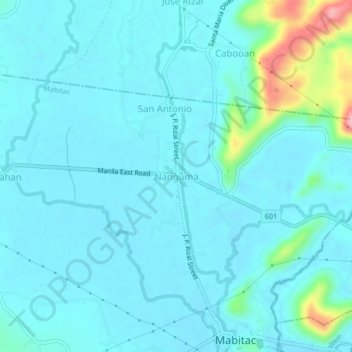
Name: Nanguma topographic map, elevation, terrain.
Location: Nanguma, Mabitac, Laguna, Calabarzon, 4020, Philippines (14.42453 121.40249 14.46453 121.44249)
Average elevation: 62 ft
Minimum elevation: 0 ft
Maximum elevation: 469 ft
Thank you for supporting this site ❤️
Make a donation
Make a donation
Gear up for your next adventure:
As an Amazon Associate, this site earns from qualifying purchases at no extra cost to you.