
Thank you for supporting this site ❤️
Make a donation
Make a donation
Gear up for your next adventure:
As an Amazon Associate, this site earns from qualifying purchases at no extra cost to you.
MORCA topographic map
Click on the map to display elevation.
Thank you for supporting this site ❤️
Make a donation
Make a donation
Gear up for your next adventure:
As an Amazon Associate, this site earns from qualifying purchases at no extra cost to you.
About this map
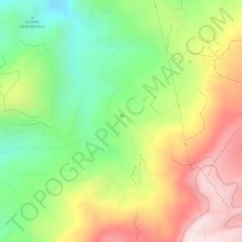
Name: MORCA topographic map, elevation, terrain.
Location: MORCA, Sogamoso, Sagamuxi, Boyacá, 152210, Colombia (5.71095 -72.90069 5.73095 -72.88069)
Average elevation: 9,386 ft
Minimum elevation: 8,510 ft
Maximum elevation: 10,315 ft
Thank you for supporting this site ❤️
Make a donation
Make a donation
Gear up for your next adventure:
As an Amazon Associate, this site earns from qualifying purchases at no extra cost to you.