
Thank you for supporting this site ❤️
Make a donation
Make a donation
Gear up for your next adventure:
As an Amazon Associate, this site earns from qualifying purchases at no extra cost to you.
Boudjouada topographic map
Click on the map to display elevation.
Thank you for supporting this site ❤️
Make a donation
Make a donation
Gear up for your next adventure:
As an Amazon Associate, this site earns from qualifying purchases at no extra cost to you.
About this map
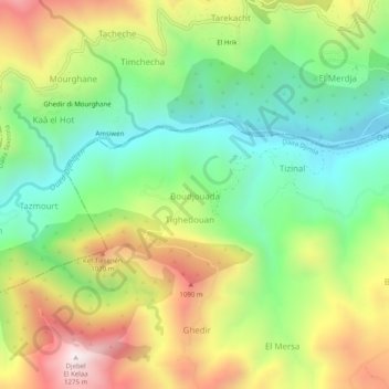
Name: Boudjouada topographic map, elevation, terrain.
Location: Boudjouada, Boudria Ben Yadjis, Daïra Djimla, Jijel, Algérie (36.58841 5.71557 36.62841 5.75557)
Average elevation: 2,379 ft
Minimum elevation: 1,142 ft
Maximum elevation: 4,173 ft
Thank you for supporting this site ❤️
Make a donation
Make a donation
Gear up for your next adventure:
As an Amazon Associate, this site earns from qualifying purchases at no extra cost to you.