Geolocate

Needville topographic map

Click on the map to display elevation.

About this map

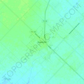
Name: Needville topographic map, elevation, terrain.

Location: Needville, Fort Bend County, Texas, 77461, United States (29.35743 -95.87810 29.43743 -95.79810)

Average elevation: 89 ft

Minimum elevation: 75 ft

Maximum elevation: 108 ft

Gear up for your next adventure:

🥄Camping Utensil Set - Lightweight utensils for outdoor meals
🌐World Map Poster - Decorative world maps with topographic info
⛑️Personal Locator Beacon - Safety beacon for emergencies
📡Handheld GPS Device - Reliable handheld GPS for outdoor navigation
🎒Day Hiking Backpack - Lightweight backpack perfect for day trips and outdoor adventures

As an Amazon Associate, this site earns from qualifying purchases at no extra cost to you.