
Hooker Tailings Pond Number Ten Dam topographic map
Interactive map
Click on the map to display elevation.
About this map
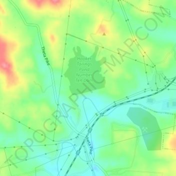
Name: Hooker Tailings Pond Number Ten Dam topographic map, elevation, terrain.
Average elevation: 653 ft
Minimum elevation: 551 ft
Maximum elevation: 823 ft
Maury County trails, hiking, mountain biking, running and outdoor activities
Other topographic maps
Click on a map to view its topography, its elevation and its terrain.