
Thank you for supporting this site ❤️
Make a donation
Make a donation
Gear up for your next adventure:
As an Amazon Associate, this site earns from qualifying purchases at no extra cost to you.
Mgongo topographic map
Click on the map to display elevation.
Thank you for supporting this site ❤️
Make a donation
Make a donation
Gear up for your next adventure:
As an Amazon Associate, this site earns from qualifying purchases at no extra cost to you.
About this map
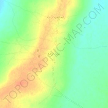
Name: Mgongo topographic map, elevation, terrain.
Location: Mgongo, Iramba, Regione di Singida, Central Zone, Tanzania (-4.34015 34.13579 -4.30015 34.17579)
Average elevation: 3,550 ft
Minimum elevation: 3,484 ft
Maximum elevation: 3,615 ft
Thank you for supporting this site ❤️
Make a donation
Make a donation
Gear up for your next adventure:
As an Amazon Associate, this site earns from qualifying purchases at no extra cost to you.