Geolocate

Ellaville topographic map

Click on the map to display elevation.

About this map

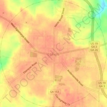
Name: Ellaville topographic map, elevation, terrain.

Location: Ellaville, Schley County, Georgia, 31806, United States (32.22366 -84.32605 32.25266 -84.29200)

Average elevation: 551 ft

Minimum elevation: 433 ft

Maximum elevation: 587 ft

Schley County trails, hiking, mountain biking, running and outdoor activities

Gear up for your next adventure:

Camping Coffee Makers - Enjoy premium coffee at the summit or campsite
🧺Microfiber Travel Towels - Compact and fast-drying towels for trail use
🔦LED Headlamp - Bright and durable LED headlamp for night navigation
🥘Titanium Cookware - Durable, featherlight pots and pans for backpacking
🏕️Family Camping Gear - Essentials for group camping trips

As an Amazon Associate, this site earns from qualifying purchases at no extra cost to you.