Geolocate

Graddagunta topographic map

Click on the map to display elevation.

About this map

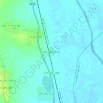
Name: Graddagunta topographic map, elevation, terrain.

Location: Graddagunta, Tada, Tirupati, Andhra Pradesh, 524401, India (13.61794 80.00236 13.65794 80.04236)

Average elevation: 13 ft

Minimum elevation: -10 ft

Maximum elevation: 52 ft

Gear up for your next adventure:

📷Action Cameras - Rugged cameras to document your journeys across rugged terrain
🔥Fast-Boil Camping Stoves - Efficient cooking systems for quick trail meals
🌐World Map Poster - Decorative world maps with topographic info
🏫Relief Map Kits - Hands-on tools for teaching landforms and elevation
🥤Water Filter Bottle - All‑in‑one filter bottle for safe hydration

As an Amazon Associate, this site earns from qualifying purchases at no extra cost to you.