

'Amanave topographic map
Click on the map to display elevation.
'Amanave
ʻAmanave was severely damaged by the 2009 tsunami. However, of a population of about 500 residents, no deaths were recorded. When the tsunami approached, emergency information was sent by radio and a bell rang in the village. After the tsunami, some residents followed the advice of the Federal Emergency Management Agency (FEMA) and moved into houses on a higher elevation.
About this map
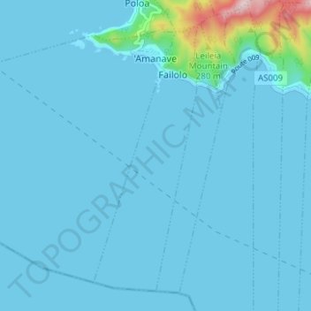
Name: 'Amanave topographic map, elevation, terrain.
Average elevation: 75 ft
Minimum elevation: 0 ft
Maximum elevation: 1,220 ft
Western District trails, hiking, mountain biking, running and outdoor activities
Other topographic maps
Click on a map to view its topography, its elevation and its terrain.

Nua-Seetaga Bay
United States > American Samoa > Western District > Se'etaga
Average elevation: 289 ft