
West Point topographic map
Click on the map to display elevation.
About this map
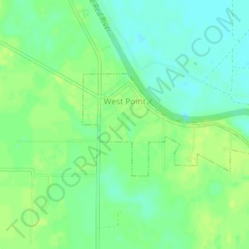
Name: West Point topographic map, elevation, terrain.
Location: West Point, White County, Arkansas, 72143, United States (35.19779 -91.61895 35.20888 -91.59606)
Average elevation: 217 ft
Minimum elevation: 187 ft
Maximum elevation: 243 ft
White County trails, hiking, mountain biking, running and outdoor activities
Other topographic maps
Click on a map to view its topography, its elevation and its terrain.