
Thank you for supporting this site ❤️
Make a donation
Make a donation
Gear up for your next adventure:
As an Amazon Associate, this site earns from qualifying purchases at no extra cost to you.
Flatruet topographic map
Click on the map to display elevation.
Thank you for supporting this site ❤️
Make a donation
Make a donation
Gear up for your next adventure:
As an Amazon Associate, this site earns from qualifying purchases at no extra cost to you.
About this map
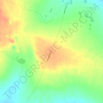
Name: Flatruet topographic map, elevation, terrain.
Location: Flatruet, Flatruetvägen, Bergs kommun, Jämtland County, Sweden (62.73999 12.74130 62.74009 12.74140)
Average elevation: 3,136 ft
Minimum elevation: 3,068 ft
Maximum elevation: 3,199 ft
Thank you for supporting this site ❤️
Make a donation
Make a donation
Gear up for your next adventure:
As an Amazon Associate, this site earns from qualifying purchases at no extra cost to you.