Geolocate

Smeaton topographic map

Click on the map to display elevation.

About this map

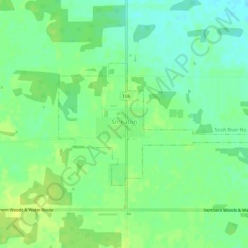
Name: Smeaton topographic map, elevation, terrain.

Location: Smeaton, Division No. 14, Saskatchewan, Canada (53.48441 -104.81866 53.49770 -104.78194)

Average elevation: 1,542 ft

Minimum elevation: 1,512 ft

Maximum elevation: 1,565 ft

Gear up for your next adventure:

📷Action Camera - Capture your outdoor adventures in HD
📚Navigation Handbooks - Master the art of reading topographic maps and using a compass
🪓Survival Multi‑Tool - Versatile tool for camp and trail tasks
🗃️Trail First Aid Kit - Essential kit for outdoor injuries and emergencies
🛰️Handheld GPS Units - Professional satellite navigators for precise backcountry mapping

As an Amazon Associate, this site earns from qualifying purchases at no extra cost to you.