
Schattlahnerkopf topographic map
Interactive map
Click on the map to display elevation.
About this map
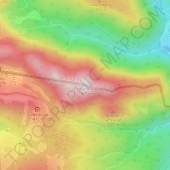
Name: Schattlahnerkopf topographic map, elevation, terrain.
Location: Schattlahnerkopf, Brandenberg, Bezirk Kufstein, Österreich (47.58536 11.81065 47.58546 11.81075)
Average elevation: 4,380 ft
Minimum elevation: 3,389 ft
Maximum elevation: 5,299 ft
Other topographic maps
Click on a map to view its topography, its elevation and its terrain.
Tiefenbachklamm
Tiefenbachklamm, Brandenberg, Bezirk Kufstein, 6234, Österreich
Average elevation: 3,087 ft