
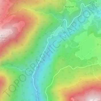
Tiefenbachklamm topographic map
Interactive map
Click on the map to display elevation.
About this map
Name: Tiefenbachklamm topographic map, elevation, terrain.
Average elevation: 3,087 ft
Minimum elevation: 1,873 ft
Maximum elevation: 4,882 ft
Other topographic maps
Click on a map to view its topography, its elevation and its terrain.
Schattlahnerkopf
Schattlahnerkopf, Brandenberg, Bezirk Kufstein, Österreich
Average elevation: 4,380 ft