Geolocate

Bourbon topographic map

Interactive map

Click on the map to display elevation.

About this map

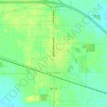
Name: Bourbon topographic map, elevation, terrain.

Location: Bourbon, Marshall County, Indiana, United States (41.28730 -86.13769 41.31345 -86.10501)

Average elevation: 840 ft

Minimum elevation: 810 ft

Maximum elevation: 866 ft

Other topographic maps

Click on a map to view its topography, its elevation and its terrain.

Plymouth

United States > Indiana > Marshall County

Plymouth, Marshall County, Indiana, 46563, United States

Average elevation: 810 ft

Bremen

United States > Indiana > Marshall County

Bremen, Marshall County, Indiana, 46506, United States

Average elevation: 827 ft

Culver

United States > Indiana > Marshall County

Culver, Marshall County, Indiana, 46511, United States

Average elevation: 755 ft