
Fulford topographic map
Click on the map to display elevation.
About this map
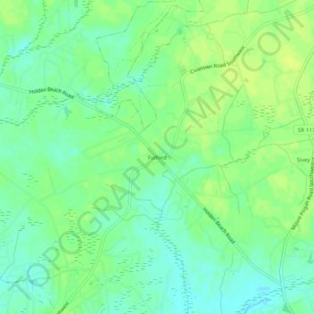
Name: Fulford topographic map, elevation, terrain.
Average elevation: 33 ft
Minimum elevation: 7 ft
Maximum elevation: 56 ft
Brunswick County trails, hiking, mountain biking, running and outdoor activities
Other topographic maps
Click on a map to view its topography, its elevation and its terrain.
Boiling Spring Lake
United States > North Carolina > Brunswick County > Boiling Spring Lakes
Average elevation: 46 ft
North Carolina Coastal Land Trust: Orton Plantation Holdings, LLC
United States > North Carolina > Brunswick County
Average elevation: 26 ft