Geolocate

Qutor City topographic map

Click on the map to display elevation.

About this map

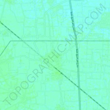
Name: Qutor City topographic map, elevation, terrain.

Location: Qutor City, Kafr El Sheikh, Western, 31726, Egypt (30.95963 30.92031 30.99731 30.99366)

Average elevation: 20 ft

Minimum elevation: 10 ft

Maximum elevation: 30 ft

Gear up for your next adventure:

🪄Magnetic Compass - Accurate compass for navigation
Solar GPS Watches - Advanced multisport watches with built-in topographic maps
📶Satellite Messenger - Communication device off‑grid
🪶Trail Camera - Capture wildlife on your hikes
🪵Folding Camp Saw - Compact saw for wood and campsite work

As an Amazon Associate, this site earns from qualifying purchases at no extra cost to you.