
Thank you for supporting this site ❤️
Make a donation
Make a donation
Gear up for your next adventure:
As an Amazon Associate, this site earns from qualifying purchases at no extra cost to you.
Nongjrong topographic map
Click on the map to display elevation.
Thank you for supporting this site ❤️
Make a donation
Make a donation
Gear up for your next adventure:
As an Amazon Associate, this site earns from qualifying purchases at no extra cost to you.
About this map
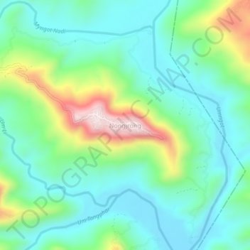
Name: Nongjrong topographic map, elevation, terrain.
Location: Nongjrong, Mawkynrew, East Khasi Hills, Meghalaya, India (25.45891 92.07029 25.49891 92.11029)
Average elevation: 3,858 ft
Minimum elevation: 3,442 ft
Maximum elevation: 4,974 ft
Thank you for supporting this site ❤️
Make a donation
Make a donation
Gear up for your next adventure:
As an Amazon Associate, this site earns from qualifying purchases at no extra cost to you.