Geolocate

Stockholm topographic map

Click on the map to display elevation.

About this map

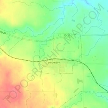
Name: Stockholm topographic map, elevation, terrain.

Location: Stockholm, Grant County, South Dakota, United States (45.09675 -96.80729 45.10688 -96.79211)

Average elevation: 1,650 ft

Minimum elevation: 1,542 ft

Maximum elevation: 1,772 ft

Grant County trails, hiking, mountain biking, running and outdoor activities

Gear up for your next adventure:

🪵Folding Camp Saw - Compact saw for wood and campsite work
🔭Stargazing Telescopes - Perfect for camping in low-light pollution areas shown on maps
📻Weather Alert Radios - Stay informed of storm risks while off-the-grid
🧦Hiking Socks - Comfortable socks to prevent blisters on long hikes
🪶Camp Gear Gift Set - Perfect gift bundle for outdoor fans

As an Amazon Associate, this site earns from qualifying purchases at no extra cost to you.