
Thank you for supporting this site ❤️
Make a donation
Make a donation
Gear up for your next adventure:
As an Amazon Associate, this site earns from qualifying purchases at no extra cost to you.
Lebnoud topographic map
Click on the map to display elevation.
Thank you for supporting this site ❤️
Make a donation
Make a donation
Gear up for your next adventure:
As an Amazon Associate, this site earns from qualifying purchases at no extra cost to you.
About this map
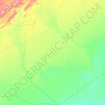
Name: Lebnoud topographic map, elevation, terrain.
Location: Lebnoud, El Abiodh Sidi Cheikh District, El Bayadh, Algeria (30.70166 -0.41587 32.71073 1.10182)
Average elevation: 2,382 ft
Minimum elevation: 1,614 ft
Maximum elevation: 7,070 ft
Thank you for supporting this site ❤️
Make a donation
Make a donation
Gear up for your next adventure:
As an Amazon Associate, this site earns from qualifying purchases at no extra cost to you.