
Mount Pulaski topographic map
Click on the map to display elevation.
About this map
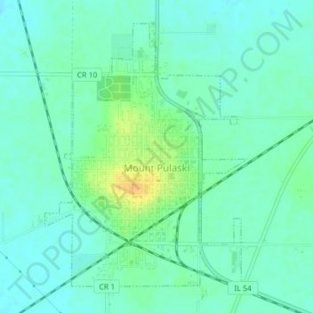
Name: Mount Pulaski topographic map, elevation, terrain.
Location: Mount Pulaski, Logan County, Illinois, United States (40.00035 -89.29494 40.02336 -89.27208)
Average elevation: 630 ft
Minimum elevation: 600 ft
Maximum elevation: 699 ft
Logan County trails, hiking, mountain biking, running and outdoor activities
Other topographic maps
Click on a map to view its topography, its elevation and its terrain.