Geolocate

Saño topographic map

Click on the map to display elevation.

About this map

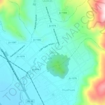
Name: Saño topographic map, elevation, terrain.

Location: Saño, San Pedro de Saño, Huancayo, Junín, Perú (-11.97733 -75.27729 -11.93733 -75.23729)

Average elevation: 10,968 ft

Minimum elevation: 10,584 ft

Maximum elevation: 12,343 ft

Gear up for your next adventure:

🪶Thermal Camp Blanket - Extra warmth for cold nights
🥾Hiking Shoes - Durable and comfortable shoes for trail hiking
🧥Men's Rain Shells - Premium waterproof and breathable jackets for mountain weather
🪶Camping Sleeping Pad - Comfortable sleeping pad for backpacking
🌐World Map Poster - Decorative world maps with topographic info

As an Amazon Associate, this site earns from qualifying purchases at no extra cost to you.