Geolocate

Prese topographic map

Click on the map to display elevation.

About this map

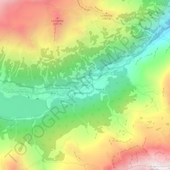
Name: Prese topographic map, elevation, terrain.

Location: Prese, Ceresole Reale, Torino, Piemonte, Italia (45.41349 7.23839 45.45349 7.27839)

Average elevation: 6,440 ft

Minimum elevation: 4,091 ft

Maximum elevation: 9,432 ft

Gear up for your next adventure:

🩳Quick‑Dry Hiking Shorts - Comfortable and quick‑dry shorts for summer hiking
🧯Portable Fire Pit - Compact fire pit for camping spots
🗃️Trail First Aid Kit - Essential kit for outdoor injuries and emergencies
🎒Waterproof Dry Bags - Keep your electronics and maps dry inside your pack
🌡️Portable Weather Meter - Track weather conditions on the trail

As an Amazon Associate, this site earns from qualifying purchases at no extra cost to you.