
Thank you for supporting this site ❤️
Make a donation
Make a donation
Gear up for your next adventure:
As an Amazon Associate, this site earns from qualifying purchases at no extra cost to you.
Daga topographic map
Click on the map to display elevation.
Thank you for supporting this site ❤️
Make a donation
Make a donation
Gear up for your next adventure:
As an Amazon Associate, this site earns from qualifying purchases at no extra cost to you.
About this map
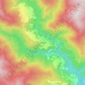
Name: Daga topographic map, elevation, terrain.
Location: Daga, Karlingzingkha, Tseza Gewog, Dagana District, Bhutan (27.03467 89.83867 27.11467 89.91867)
Average elevation: 5,846 ft
Minimum elevation: 2,717 ft
Maximum elevation: 8,983 ft
Thank you for supporting this site ❤️
Make a donation
Make a donation
Gear up for your next adventure:
As an Amazon Associate, this site earns from qualifying purchases at no extra cost to you.