
Senegal topographic map
Click on the map to display elevation.
About this map
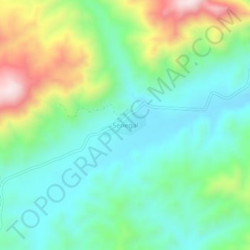
Name: Senegal topographic map, elevation, terrain.
Average elevation: 6,857 ft
Minimum elevation: 6,299 ft
Maximum elevation: 8,163 ft
Other topographic maps
Click on a map to view its topography, its elevation and its terrain.
Lake Chamo
Ethiopia > Southern Nations, Nationalities, and Peoples
Lake Chamo (Amharic: ቻሞ ሐይቅ) is a lake in the Southern Nations, Nationalities, and Peoples' Region of southern Ethiopia. Located in the Main Ethiopian Rift, it is at an elevation of 1,110 meters. The Chamo lake is just to the south of Lake Abaya and the city of Arba Minch, east of the Guge Mountains,…
Average elevation: 3,888 ft