Geolocate

Limagne topographic map

Click on the map to display elevation.

About this map
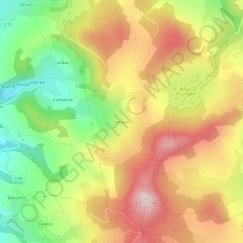
Name: Limagne topographic map, elevation, terrain.

Location: Limagne, Siaugues-Sainte-Marie, Brioude, Haute-Loire, Auvergne-Rhône-Alpes, France métropolitaine, 43300, France (45.04142 3.62428 45.08142 3.66428)

Average elevation: 3,550 ft

Minimum elevation: 2,874 ft

Maximum elevation: 4,196 ft

Other topographic maps

Click on a map to view its topography, its elevation and its terrain.

Gear up for your next adventure:

🛰️Handheld GPS Units - Professional satellite navigators for precise backcountry mapping
☀️Outdoor Sunscreen - High protection sunscreen for outdoor activities
🔋Solar Power Banks - Keep your GPS and phone charged in remote wilderness areas
📡GPS Antenna Upgrade - Enhance GPS reception in remote terrain
📶Vehicle Signal Boosters - Improve reception in rural areas while driving to trailheads

As an Amazon Associate, this site earns from qualifying purchases at no extra cost to you.