Geolocate

Hallam topographic map

Click on the map to display elevation.

About this map

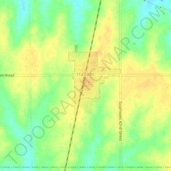
Name: Hallam topographic map, elevation, terrain.

Location: Hallam, Lancaster County, Nebraska, United States (40.53070 -96.79076 40.54127 -96.78002)

Average elevation: 1,467 ft

Minimum elevation: 1,411 ft

Maximum elevation: 1,503 ft

Lancaster County trails, hiking, mountain biking, running and outdoor activities

Other topographic maps

Click on a map to view its topography, its elevation and its terrain.

Princeton

United States > Nebraska > Lancaster County

Average elevation: 1,417 ft

Gear up for your next adventure:

🪶Trail Camera - Capture wildlife on your hikes
🔌Solar Panel Charger - Charge gear sustainably outdoors
🔦LED Headlamp - Bright and durable LED headlamp for night navigation
🥄Camping Utensil Set - Lightweight utensils for outdoor meals
🪑Portable Camp Table - Compact table for campsite meals

As an Amazon Associate, this site earns from qualifying purchases at no extra cost to you.