
Mayobamba topographic map
Click on the map to display elevation.
About this map
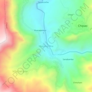
Name: Mayobamba topographic map, elevation, terrain.
Location: Mayobamba, Chipao, Lucanas, Ayacucho, Perú (-14.39476 -73.91277 -14.35476 -73.87277)
Average elevation: 11,368 ft
Minimum elevation: 10,299 ft
Maximum elevation: 13,241 ft