
Dutch Island topographic map
Click on the map to display elevation.
About this map
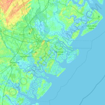
Name: Dutch Island topographic map, elevation, terrain.
Location: Dutch Island, Chatham County, Georgia, 31410, United States (31.68605 -81.35122 32.32605 -80.71122)
Average elevation: 13 ft
Minimum elevation: -16 ft
Maximum elevation: 115 ft
Chatham County trails, hiking, mountain biking, running and outdoor activities