Geolocate

Panchasar topographic map

Click on the map to display elevation.

About this map

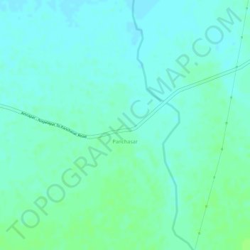
Name: Panchasar topographic map, elevation, terrain.

Location: Panchasar, Morbi Taluka, Morbi District, Gujarat, India (22.79205 70.75307 22.80339 70.76244)

Average elevation: 164 ft

Minimum elevation: 148 ft

Maximum elevation: 180 ft

Gear up for your next adventure:

👖Convertible Hiking Pants - Versatile zip-off pants for changing altitudes and temperatures
🌲Outdoor Survival Books - Best books on survival skills
🔦Powerful Headlamps - Ultra-bright hands-free lighting for night navigation
🪶Compact Camp Shovel - Folding shovel for campsite tasks
🕶️GPS Smartphone Mount - Secure mount for phone navigation

As an Amazon Associate, this site earns from qualifying purchases at no extra cost to you.